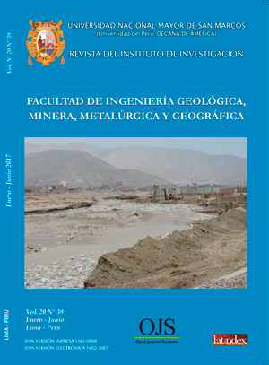
Study of maximum flood protection for possible flood areas located in the stretch The Oroya- 40 km downstream Mantaro River Basin
DOI:
https://doi.org/10.15381/iigeo.v20i39.14163Keywords:
Mantaro river basin, La Oroya, Probability distributions, Food flows, Return periodsAbstract
On the riverbed of Mantaro river, precisely, on the area between La Oroya and 40 km, exist a communication between the cities of lima and Huancayo, where are located: many bridges, the central highway, several hydraulics structures for agricultural use, settlements urban town - La Oroya mining and La Oroya city. All of them exposed to flooding problems caused by maximum flood flows generated in the middle and upper basin of the Mantaro river. In this research we have determined the maximum flood in this area in order to provide security of the entire road infrastructure and existing waterworks. This calculation is very important to prevent the undermining of the design of hydraulic works, infrastructure located at the edge of the river, strengthening of the pillars of bridges, strengthening barrage of intakes, dams and gabions of the same.
The results had In this research we have obtained the maximum flood flows for the study area and determined fit a Normal Probability Distribution, and based on this distribution have been determined flood flows for return periods of 2, 5, 10, 20, 25, 50, 75, 100, 200, 300, 400, 500 and 1000 years.
It is concluded that on the riverbed of Mantaro river, on the area between La Oroya -40 Km, the flow of high avenues is 805.82 m3/s for the return period of 100 years. This discharge can be used for the design of hydraulic works to protect the entire road infrastructure and hydraulics work existing. These protection projects could be raised by organizations like the ANA, MINAG, MEM, SN POWER PERU S.A.
This article has been prepared based on the study of maximum avenues carried out by the same authors in 2014 at the Research Institute of FCF-UNMSM, (Sarango, J. D. and others, 2014).
Downloads
Published
Issue
Section
License
Copyright (c) 2017 Douglas Sarango, Teresa Velásquez, Guido Rozas, Jorge Gástelo

This work is licensed under a Creative Commons Attribution-NonCommercial-ShareAlike 4.0 International License.
AUTHORS RETAIN THEIR RIGHTS:
a. Authors retain their trade mark rights and patent, and also on any process or procedure described in the article.
b. Authors retain their right to share, copy, distribute, perform and publicly communicate their article (eg, to place their article in an institutional repository or publish it in a book), with an acknowledgment of its initial publication in the Rev. Inst. investig. Fac. minas metal cienc. geogr.
c. Authors retain theirs right to make a subsequent publication of their work, to use the article or any part thereof (eg a compilation of his papers, lecture notes, thesis, or a book), always indicating the source of publication (the originator of the work, journal, volume, number and date).


