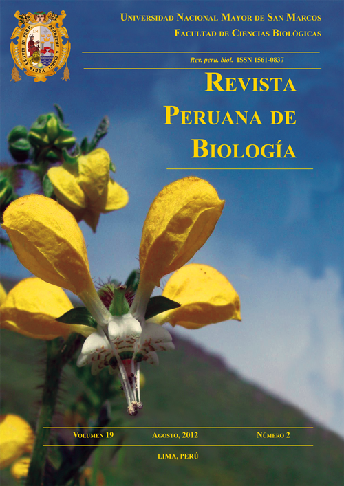
Predicting Polylepis distribution: vulnerable and increasingly important Andean woodlands
DOI:
https://doi.org/10.15381/rpb.v19i2.849Keywords:
Maxent, MODIS, Polylepis, QSCAT, remote sensing, species distribution modeling, WorldClim.Abstract
Polylepis woodlands are a vital resource for preserving biodiversity and hydrological functions, which will be altered by climate change and challenge the sustainability of local human communities. However, these highaltitude Andean ecosystems are becoming increasingly vulnerable due to anthropogenic pressure including fragmentation, deforestation and the increase in livestock. Predicting the distribution of native woodlands has become increasingly important to counteract the negative effects of climate change through reforestation and conservation. The objective of this study was to develop and analyze the distribution models of two species that form extensive woodlands along the Andes, namely Polylepis sericea and P. weberbaueri. This study utilized the program Maxent, climate and remotely sensed environmental layers at 1 km resolution. The predicted distribution model for P. sericea indicated that the species could be located in a variety of habitats along the Andean Cordillera, while P. weberbaueri was restricted to the high elevations of southern Peru and Bolivia. For both species, elevation and temperature metrics were the most significant factors for predicted distribution. Further model refinement of Polylepis and other Andean species using increasingly available satellite data demonstrate the potential to help define areas of diversity and improve conservation strategies for the Andes.Downloads
Downloads
Published
Issue
Section
License
Copyright (c) 2012 Brian R. Zutta, Phillip W. Rundel, Sassan Saatchi, Jorge D. Casana, Paul Gauthier Gauthier, Aldo Soto, Yessenia Velazco, Wolfgang Buermann

This work is licensed under a Creative Commons Attribution-NonCommercial-ShareAlike 4.0 International License.
AUTHORS RETAIN THEIR RIGHTS:
a. Authors retain their trade mark rights and patent, and also on any process or procedure described in the article.
b. Authors retain their right to share, copy, distribute, perform and publicly communicate their article (eg, to place their article in an institutional repository or publish it in a book), with an acknowledgment of its initial publication in the Revista Peruana de Biologia.
c. Authors retain theirs right to make a subsequent publication of their work, to use the article or any part thereof (eg a compilation of his papers, lecture notes, thesis, or a book), always indicating its initial publication in the Revista Peruana de Biologia (the originator of the work, journal, volume, number and date).


